library(elevatr)
library(terra)
library(tanaka)
Day 23 of 30DayMapChallenge: « 3D » (previously).
The Tanaka contours (Tanaka 1950) are a method of displaying 3D as a succession of terraces.
ele <-  get_elev_raster(data.frame(x = 138.727350,
                                   y =  35.360681),
                        prj = "EPSG:4326",
                        z = 10) |>
as("SpatRaster")par(mar = c(0,0,0,0))
tanaka(ele,
breaks = 1:14*250,
legend.pos = "right",
shift = 0.001,
legend.title = "富士山\nElevation (m)",
col = viridis::magma(n = 15),
add = FALSE)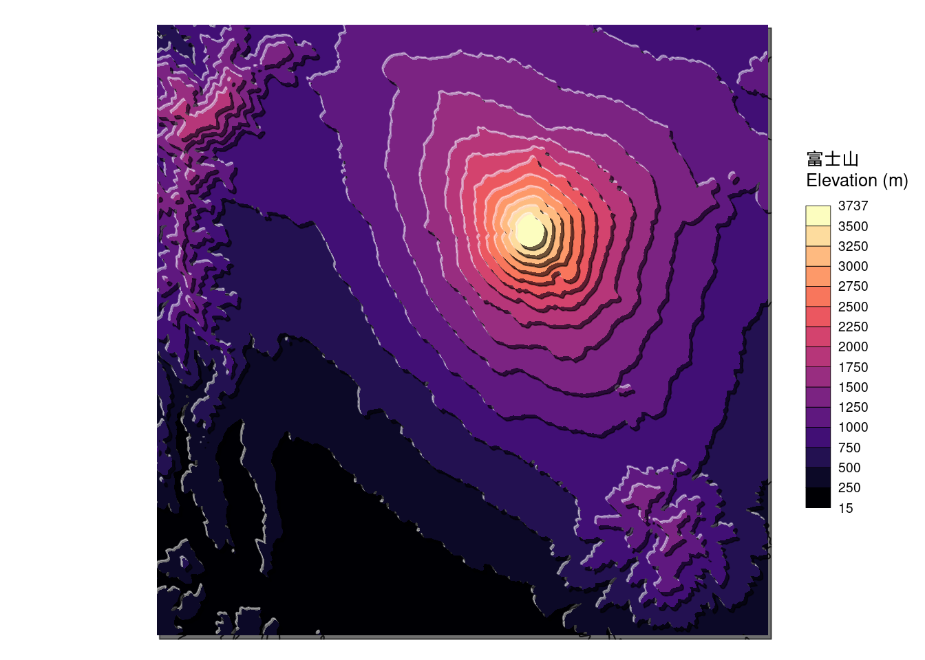
References
Tanaka, Kitiro. 1950. “The Relief Contour Method of Representing Topography on Maps.” Geographical Review 40 (3): 444–56. https://doi.org/10.2307/211219.