Day 13 of 30DayMapChallenge: « 5 minutes map » (previously).
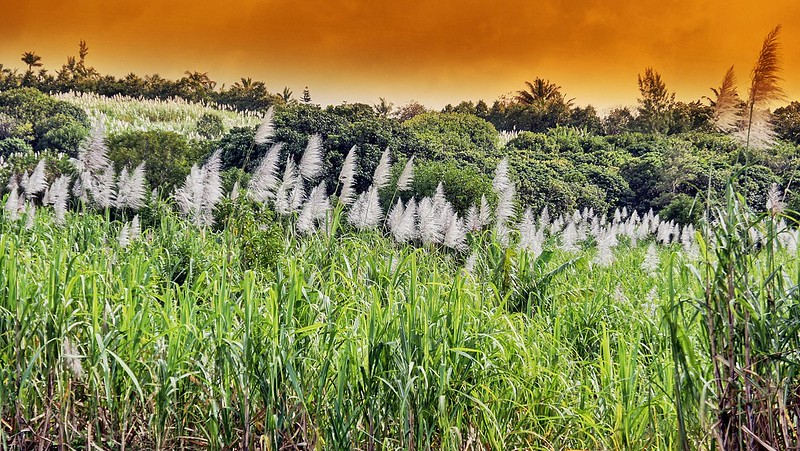
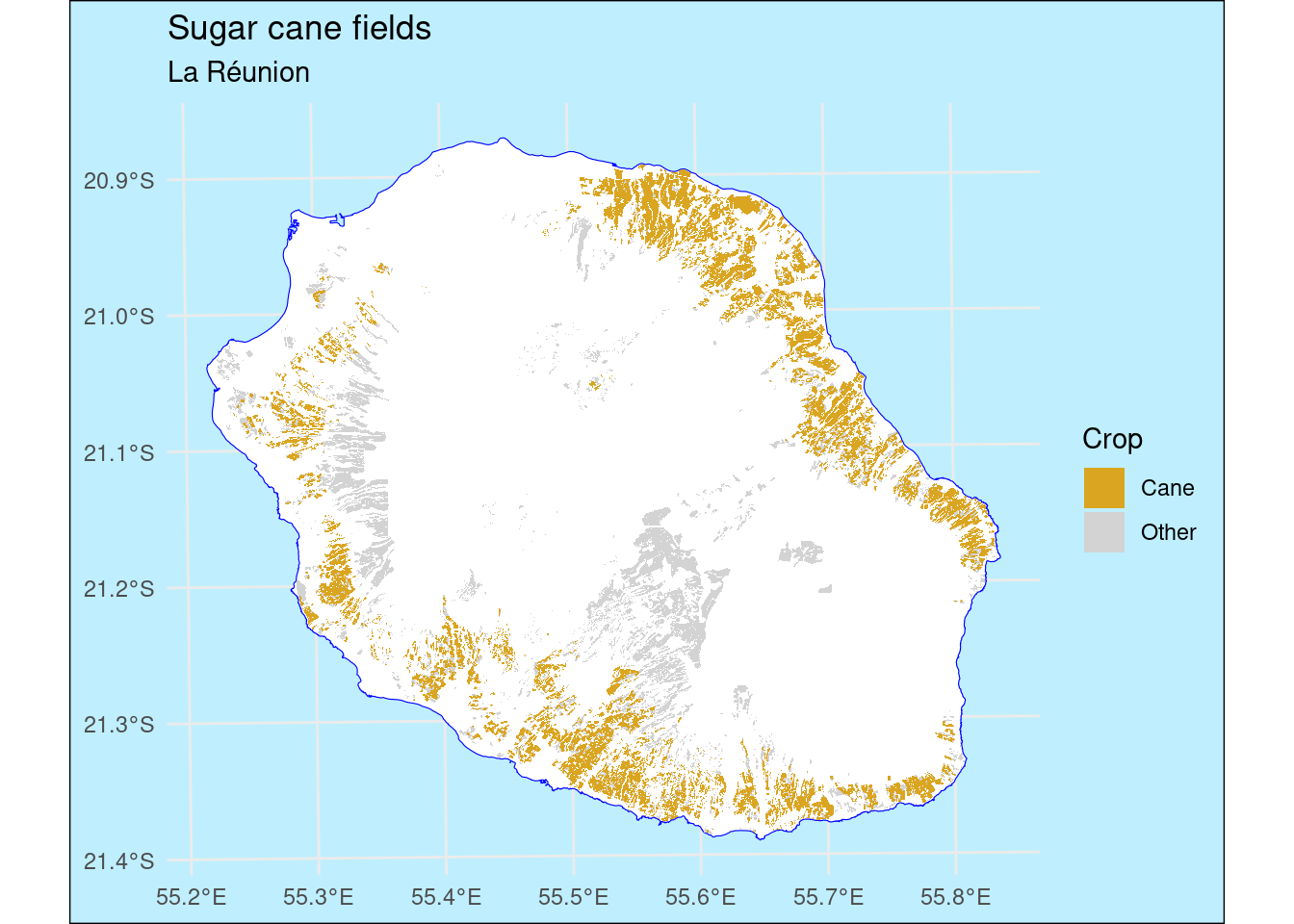
Sugar cane fields in La Réunion.
library(tidyverse)
library(sf)

# RPG région La Réunion édition 2021
# https://wxs.ign.fr/0zf5kvnyfgyss0dk5dvvq9n7/telechargement/prepackage/RPG_REGION_PACK_DIFF_2021-01-01$RPG_2-0__SHP_RGR92UTM40S_R04_2021-01-01/file/RPG_2-0__SHP_RGR92UTM40S_R04_2021-01-01.7z
parc <- read_sf("~/data/rpg/RPG_2-0__SHP_RGR92UTM40S_R04_2021-01-01/RPG/1_DONNEES_LIVRAISON_2021/RPG_2-0_SHP_RGR92UTM40S_R04_2021-01-01/PARCELLES_GRAPHIQUES.shp")

# https://geoservices.ign.fr/adminexpress
# COG
dep <- read_sf("~/data/adminexpress/ADMIN-EXPRESS-COG_3-1__SHP__FRA_WM_2022-04-15/ADMIN-EXPRESS-COG/1_DONNEES_LIVRAISON_2022-04-15/ADECOG_3-1_SHP_WGS84G_FRA/DEPARTEMENT.shp") |>
  filter(INSEE_DEP == "974")

parc |>
  ggplot() +
  geom_sf(data = dep, fill = "white", color = "blue") +
  geom_sf(aes(fill = CODE_CULTU %in% c(
              "CSA",
              "CSF",
              "CSI",
              "CSP",
              "CSR")), color = NA) +
  scale_fill_manual(values = list("TRUE" = "goldenrod",
                                  "FALSE" = "lightgrey"),
                    labels = list("TRUE" = "Cane",
                                  "FALSE" = "Other")) +
  guides(fill = guide_legend(reverse = TRUE)) +
  labs(title = "Sugar cane fields",
       subtitle = "La Réunion",
       fill = "Crop") +
  theme_minimal() +
  theme(plot.background = element_rect(fill = "lightblue1"))